
Grevinge Lammefjord topographic map
Interactive map
Click on the map to display elevation.
About this map
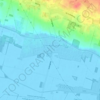
Name: Grevinge Lammefjord topographic map, elevation, terrain.
Location: Grevinge Lammefjord, Odsherred Municipality, Denmark (55.78083 11.54157 55.78758 11.57192)
Average elevation: 23 ft
Minimum elevation: -33 ft
Maximum elevation: 167 ft