
North Rim topographic map
Interactive map
Click on the map to display elevation.
About this map
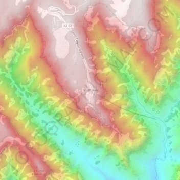
Name: North Rim topographic map, elevation, terrain.
Location: North Rim, Coconino County, Arizona, USA (36.17986 -112.07271 36.21986 -112.03271)
Average elevation: 6,713 ft
Minimum elevation: 4,318 ft
Maximum elevation: 8,412 ft