
Kulay Bato topographic map
Interactive map
Click on the map to display elevation.
About this map
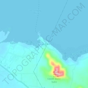
Name: Kulay Bato topographic map, elevation, terrain.
Location: Kulay Bato, Lamitan, Basilan, Bangsamoro, Philippines (6.64881 122.14152 6.68881 122.18152)
Average elevation: 49 ft
Minimum elevation: 0 ft
Maximum elevation: 679 ft
Other topographic maps
Click on a map to view its topography, its elevation and its terrain.
Bato
Philippines > Basilan > Lamitan
Bato, Lamitan, Basilan, Bangsamoro, 7302, Philippines
Average elevation: 52 ft