
Brady Township topographic map
Interactive map
Click on the map to display elevation.
About this map
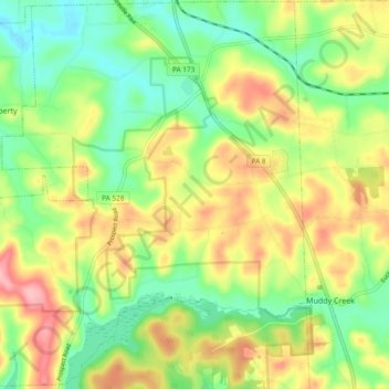
Name: Brady Township topographic map, elevation, terrain.
Location: Brady Township, Butler County, Pennsylvania, USA (40.95622 -80.07119 41.02689 -79.97707)
Average elevation: 1,306 ft
Minimum elevation: 1,122 ft
Maximum elevation: 1,552 ft