
Bottineau topographic map
Interactive map
Click on the map to display elevation.
About this map
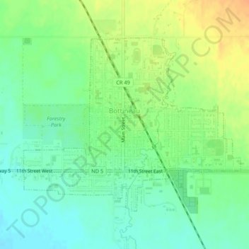
Name: Bottineau topographic map, elevation, terrain.
Location: Bottineau, Bottineau County, North Dakota, United States (48.81635 -100.46232 48.83515 -100.42655)
Average elevation: 1,634 ft
Minimum elevation: 1,585 ft
Maximum elevation: 1,696 ft
According to the United States Census Bureau, the city has a total area of 1.09 square miles (2.82 km2), all of it land. The elevation is 1,637 feet (499 m) above sea level.