
Seney topographic map
Interactive map
Click on the map to display elevation.
About this map
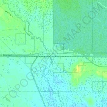
Name: Seney topographic map, elevation, terrain.
Location: Seney, Schoolcraft County, Michigan, 49883, USA (46.32548 -85.96863 46.36548 -85.92863)
Average elevation: 732 ft
Minimum elevation: 712 ft
Maximum elevation: 768 ft