
Long Pine topographic map
Interactive map
Click on the map to display elevation.
About this map
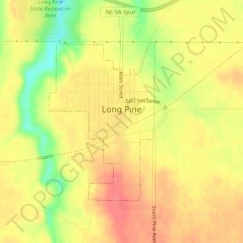
Name: Long Pine topographic map, elevation, terrain.
Location: Long Pine, Brown County, Nebraska, 69217, United States (42.52527 -99.71171 42.54284 -99.69576)
Average elevation: 2,392 ft
Minimum elevation: 2,254 ft
Maximum elevation: 2,467 ft