
Qalat topographic map
Interactive map
Click on the map to display elevation.
About this map
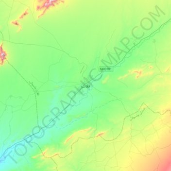
Name: Qalat topographic map, elevation, terrain.
Location: Qalat, Afghanistan (31.94336 66.74658 32.26336 67.06658)
Average elevation: 5,489 ft
Minimum elevation: 4,711 ft
Maximum elevation: 7,671 ft