
Makeni topographic map
Interactive map
Click on the map to display elevation.
About this map
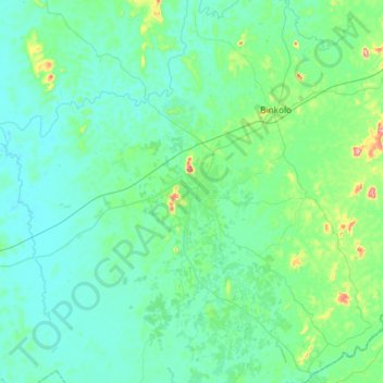
Name: Makeni topographic map, elevation, terrain.
Location: Makeni, Bombali District, Northern Province, Sierra Leone (8.72474 -12.20912 9.04474 -11.88912)
Average elevation: 279 ft
Minimum elevation: 151 ft
Maximum elevation: 997 ft