
Langre topographic map
Interactive map
Click on the map to display elevation.
About this map
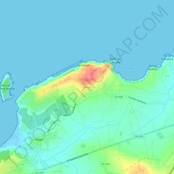
Name: Langre topographic map, elevation, terrain.
Location: Langre, Trasmiera, Cantabria, 39160, Spain (43.45333 -3.72413 43.49333 -3.68413)
Average elevation: 39 ft
Minimum elevation: -3 ft
Maximum elevation: 230 ft