
Georgetown topographic map
Interactive map
Click on the map to display elevation.
About this map
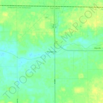
Name: Georgetown topographic map, elevation, terrain.
Location: Georgetown, Randolph County, Indiana, 47340, USA (40.15088 -85.14913 40.19088 -85.10913)
Average elevation: 1,037 ft
Minimum elevation: 1,004 ft
Maximum elevation: 1,070 ft