
Villas topographic map
Interactive map
Click on the map to display elevation.
About this map
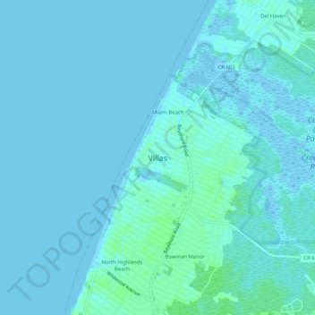
Name: Villas topographic map, elevation, terrain.
Location: Villas, Cape May County, New Jersey, 08251, USA (39.00872 -74.95851 39.04872 -74.91851)
Average elevation: 7 ft
Minimum elevation: -10 ft
Maximum elevation: 23 ft