
La Ribera topographic map
Interactive map
Click on the map to display elevation.
About this map
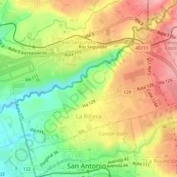
Name: La Ribera topographic map, elevation, terrain.
Location: La Ribera, Cantón Belén, Provincia Heredia, 40702, Costa Rica (9.98243 -84.19854 10.00527 -84.16532)
Average elevation: 3,091 ft
Minimum elevation: 2,871 ft
Maximum elevation: 3,297 ft