
El Tablazo topographic map
Interactive map
Click on the map to display elevation.
About this map
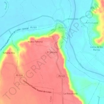
Name: El Tablazo topographic map, elevation, terrain.
Location: El Tablazo, Paita, Piura, Peru (-4.91289 -81.05039 -4.87289 -81.01039)
Average elevation: 151 ft
Minimum elevation: 20 ft
Maximum elevation: 335 ft