
Tartu topographic map
Interactive map
Click on the map to display elevation.
About this map
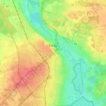
Name: Tartu topographic map, elevation, terrain.
Location: Tartu, Tartu linn, Tartu maakond, Estonia (58.33902 26.66708 58.41094 26.79804)
Average elevation: 174 ft
Minimum elevation: 89 ft
Maximum elevation: 269 ft
Other topographic maps
Click on a map to view its topography, its elevation and its terrain.