
Britwell topographic map
Interactive map
Click on the map to display elevation.
About this map
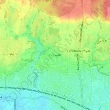
Name: Britwell topographic map, elevation, terrain.
Location: Britwell, Slough, South East, England, SL2 2DT, United Kingdom (51.51586 -0.65110 51.55586 -0.61110)
Average elevation: 151 ft
Minimum elevation: 72 ft
Maximum elevation: 276 ft