
Llangywer topographic map
Interactive map
Click on the map to display elevation.
About this map
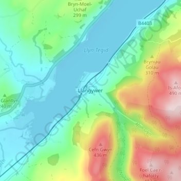
Name: Llangywer topographic map, elevation, terrain.
Location: Llangywer, Gwynedd, Wales, LL23 7BY, United Kingdom (52.85637 -3.64855 52.89637 -3.60855)
Average elevation: 843 ft
Minimum elevation: 518 ft
Maximum elevation: 1,585 ft