
Point Breeze topographic map
Interactive map
Click on the map to display elevation.
About this map
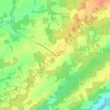
Name: Point Breeze topographic map, elevation, terrain.
Location: Point Breeze, Hunterdon County, New Jersey, USA (40.48621 -74.98433 40.52621 -74.94433)
Average elevation: 522 ft
Minimum elevation: 440 ft
Maximum elevation: 591 ft