
Doberlug-Kirchhain topographic map
Interactive map
Click on the map to display elevation.
About this map
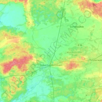
Name: Doberlug-Kirchhain topographic map, elevation, terrain.
Location: Doberlug-Kirchhain, Elbe-Elster, Brandenburg, 03253, Germany (51.59243 13.33831 51.70516 13.64936)
Average elevation: 348 ft
Minimum elevation: 279 ft
Maximum elevation: 486 ft