
Samri topographic map
Interactive map
Click on the map to display elevation.
About this map
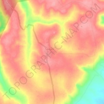
Name: Samri topographic map, elevation, terrain.
Location: Samri, Samri(Kusmi) Tahsil, Balrampur, Chhattisgarh, India (23.38870 83.91710 23.42870 83.95710)
Average elevation: 3,681 ft
Minimum elevation: 3,438 ft
Maximum elevation: 3,780 ft