
Kanakatta topographic map
Interactive map
Click on the map to display elevation.
About this map
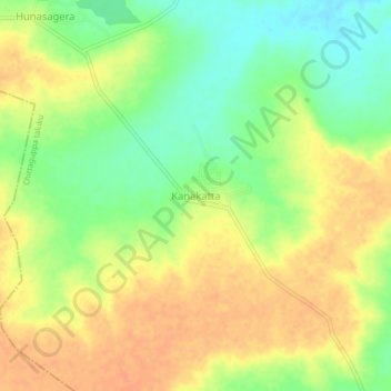
Name: Kanakatta topographic map, elevation, terrain.
Location: Kanakatta, Humanabad taluku, Bidar district, Karnataka, India (17.81307 77.07273 17.85307 77.11273)
Average elevation: 2,129 ft
Minimum elevation: 2,057 ft
Maximum elevation: 2,178 ft