
Tirkeş topographic map
Interactive map
Click on the map to display elevation.
About this map
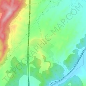
Name: Tirkeş topographic map, elevation, terrain.
Location: Tirkeş, Saruhanlı, Manisa, Aegean Region, Turkey (38.78687 27.64593 38.82687 27.68593)
Average elevation: 492 ft
Minimum elevation: 167 ft
Maximum elevation: 1,132 ft