
Foster topographic map
Interactive map
Click on the map to display elevation.
About this map
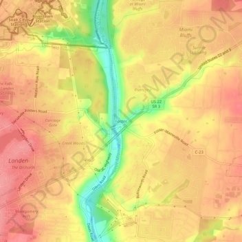
Name: Foster topographic map, elevation, terrain.
Location: Foster, Warren County, Ohio, 45039, United States (39.30267 -84.27118 39.34267 -84.23118)
Average elevation: 745 ft
Minimum elevation: 564 ft
Maximum elevation: 830 ft