
Plains topographic map
Interactive map
Click on the map to display elevation.
About this map
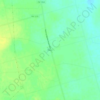
Name: Plains topographic map, elevation, terrain.
Location: Plains, Borden County, Texas, USA (32.89232 -101.66459 32.93232 -101.62459)
Average elevation: 2,963 ft
Minimum elevation: 2,933 ft
Maximum elevation: 2,989 ft