
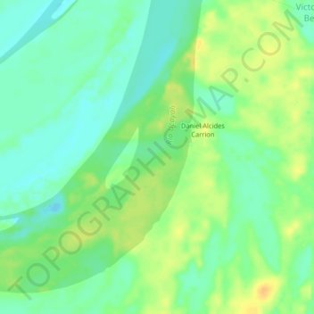
Daniel Alcides Carrion topographic map
Interactive map
Click on the map to display elevation.
About this map
Name: Daniel Alcides Carrion topographic map, elevation, terrain.
Location: Daniel Alcides Carrion, Provincia de Ucayali, Loreto, Perú (-6.83476 -75.03964 -6.79476 -74.99964)
Average elevation: 404 ft
Minimum elevation: 361 ft
Maximum elevation: 453 ft