
Kampung Masjid topographic map
Interactive map
Click on the map to display elevation.
About this map
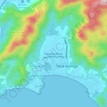
Name: Kampung Masjid topographic map, elevation, terrain.
Location: Kampung Masjid, Barat Daya, Penang, 11920, Malaysia (5.27529 100.20732 5.31529 100.24732)
Average elevation: 299 ft
Minimum elevation: 0 ft
Maximum elevation: 1,253 ft