
A Liage topographic map
Interactive map
Click on the map to display elevation.
About this map
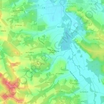
Name: A Liage topographic map, elevation, terrain.
Location: A Liage, Condom, Gers, Occitania, Metropolitan France, France (43.82552 -0.03131 43.86552 0.00869)
Average elevation: 436 ft
Minimum elevation: 341 ft
Maximum elevation: 620 ft