
Scotsdale topographic map
Interactive map
Click on the map to display elevation.
About this map
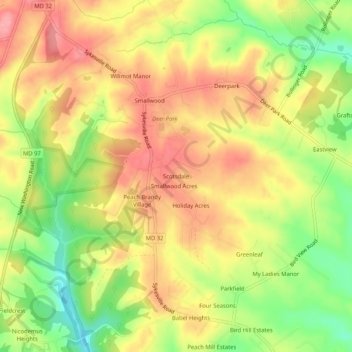
Name: Scotsdale topographic map, elevation, terrain.
Location: Scotsdale, Carroll County, Maryland, USA (39.48427 -76.99054 39.52427 -76.95054)
Average elevation: 755 ft
Minimum elevation: 554 ft
Maximum elevation: 909 ft