
Rochford topographic map
Interactive map
Click on the map to display elevation.
About this map
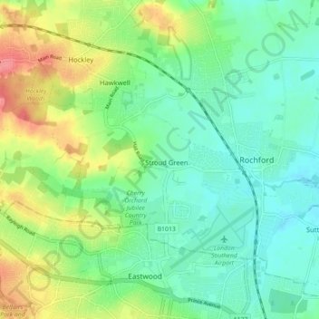
Name: Rochford topographic map, elevation, terrain.
Location: Rochford, Essex, England, United Kingdom (51.56643 0.63960 51.60128 0.72772)
Average elevation: 85 ft
Minimum elevation: 7 ft
Maximum elevation: 246 ft