
La Esmeralda topographic map
Interactive map
Click on the map to display elevation.
About this map
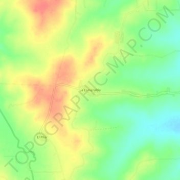
Name: La Esmeralda topographic map, elevation, terrain.
Location: La Esmeralda, Acuña, Coahuila de Zaragoza, México (29.22738 -100.95797 29.26738 -100.91797)
Average elevation: 1,060 ft
Minimum elevation: 968 ft
Maximum elevation: 1,148 ft