
Tela topographic map
Interactive map
Click on the map to display elevation.
About this map
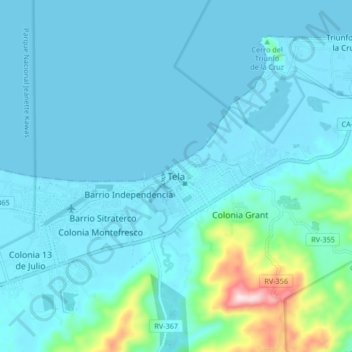
Name: Tela topographic map, elevation, terrain.
Location: Tela, Atlántida, Honduras (15.74248 -87.49140 15.82248 -87.41140)
Average elevation: 131 ft
Minimum elevation: -3 ft
Maximum elevation: 1,201 ft