
Gurmels topographic map
Interactive map
Click on the map to display elevation.
About this map
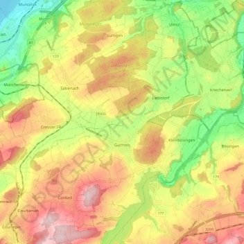
Name: Gurmels topographic map, elevation, terrain.
Location: Gurmels, Distretto di See, Friburgo, Svizzera (46.86040 7.12425 46.93995 7.23482)
Average elevation: 1,818 ft
Minimum elevation: 1,391 ft
Maximum elevation: 2,224 ft