
Aunat topographic map
Interactive map
Click on the map to display elevation.
About this map
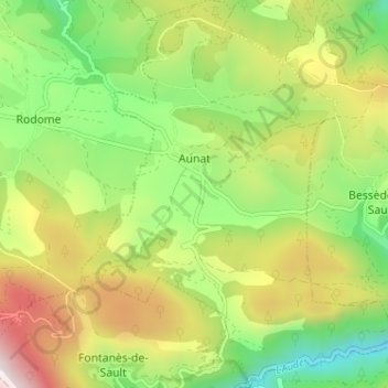
Name: Aunat topographic map, elevation, terrain.
Location: Aunat, Limoux, Aude, Occitania, France, 11140, France (42.76654 2.07575 42.81353 2.12879)
Average elevation: 3,291 ft
Minimum elevation: 1,998 ft
Maximum elevation: 5,112 ft