
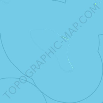
Marutea Nord topographic map
Interactive map
Click on the map to display elevation.
About this map
Name: Marutea Nord topographic map, elevation, terrain.
Average elevation: 0 ft
Minimum elevation: 0 ft
Maximum elevation: 26 ft
Other topographic maps
Click on a map to view its topography, its elevation and its terrain.
South Tepoto
France > French Polynesia > Makemo
South Tepoto, Raevski Islands, Katiu, Makemo, Tuamotu-Gambier, French Polynesia, France
Average elevation: 0 ft
Hiti
France > French Polynesia > Makemo
Hiti, Raevski Islands, Katiu, Makemo, Tuamotu-Gambier, French Polynesia, France
Average elevation: 0 ft
Tuanake
France > French Polynesia > Makemo
Tuanake, Raevski Islands, Katiu, Makemo, Tuamotu-Gambier, French Polynesia, France
Average elevation: 0 ft