
Narsapuram topographic map
Interactive map
Click on the map to display elevation.
About this map
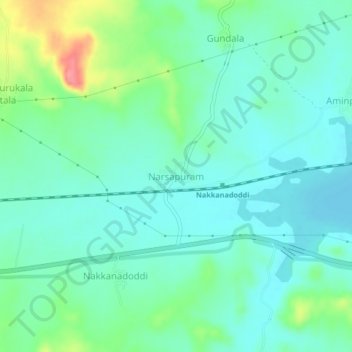
Name: Narsapuram topographic map, elevation, terrain.
Location: Narsapuram, Guntakal, Anantapur, Andhra Pradesh, India (15.14685 77.45443 15.18685 77.49443)
Average elevation: 1,316 ft
Minimum elevation: 1,247 ft
Maximum elevation: 1,522 ft