
Sunset Valley topographic map
Interactive map
Click on the map to display elevation.
About this map
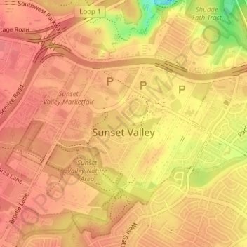
Name: Sunset Valley topographic map, elevation, terrain.
Location: Sunset Valley, Travis County, Texas, United States (30.21416 -97.82896 30.23924 -97.80292)
Average elevation: 699 ft
Minimum elevation: 535 ft
Maximum elevation: 748 ft