
Moyotepec topographic map
Interactive map
Click on the map to display elevation.
About this map
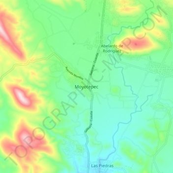
Name: Moyotepec topographic map, elevation, terrain.
Location: Moyotepec, Ayala, Morelos, México (18.68062 -99.03328 18.76062 -98.95328)
Average elevation: 3,917 ft
Minimum elevation: 3,504 ft
Maximum elevation: 4,869 ft