
Taylorsville topographic map
Interactive map
Click on the map to display elevation.
About this map
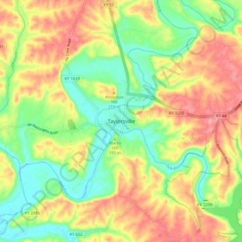
Name: Taylorsville topographic map, elevation, terrain.
Location: Taylorsville, Spencer County, Kentucky, 40071, United States (37.99173 -85.38253 38.07173 -85.30253)
Average elevation: 614 ft
Minimum elevation: 456 ft
Maximum elevation: 784 ft