
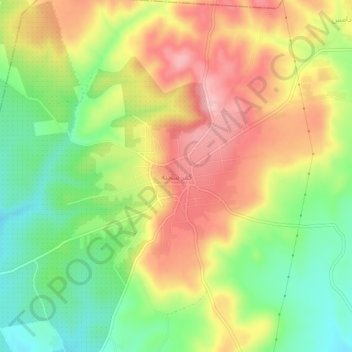
Kafr Sajnah topographic map
Interactive map
Click on the map to display elevation.
About this map
Name: Kafr Sajnah topographic map, elevation, terrain.
Location: Kafr Sajnah, Idlib, Syria (35.50741 36.57048 35.54741 36.61048)
Average elevation: 1,624 ft
Minimum elevation: 1,381 ft
Maximum elevation: 1,873 ft