
Ouled Azzouz topographic map
Interactive map
Click on the map to display elevation.
About this map
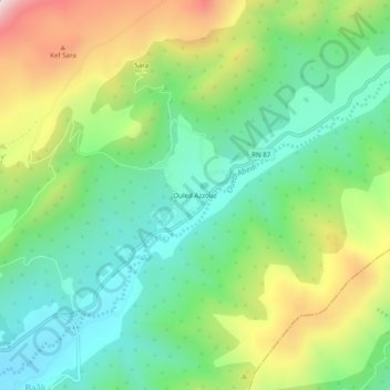
Name: Ouled Azzouz topographic map, elevation, terrain.
Location: Ouled Azzouz, Daïra de Teniet El Abed, Batna, Algérie (35.29322 6.28131 35.33322 6.32131)
Average elevation: 5,551 ft
Minimum elevation: 4,767 ft
Maximum elevation: 7,014 ft