
Joanna topographic map
Interactive map
Click on the map to display elevation.
About this map
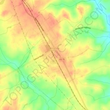
Name: Joanna topographic map, elevation, terrain.
Location: Joanna, Laurens County, South Carolina, 29351, USA (34.39346 -81.82865 34.43140 -81.78320)
Average elevation: 564 ft
Minimum elevation: 463 ft
Maximum elevation: 633 ft