
La Puente topographic map
Interactive map
Click on the map to display elevation.
About this map
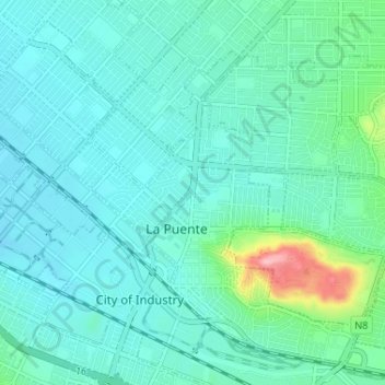
Name: La Puente topographic map, elevation, terrain.
Location: La Puente, Los Angeles County, California, United States (34.00904 -117.98550 34.05723 -117.92068)
Average elevation: 367 ft
Minimum elevation: 295 ft
Maximum elevation: 735 ft