
Nagalapuram topographic map
Interactive map
Click on the map to display elevation.
About this map
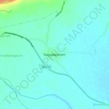
Name: Nagalapuram topographic map, elevation, terrain.
Location: Nagalapuram, Chittoor, Andhra Pradesh, 517589, India (13.36771 79.77634 13.40771 79.81634)
Average elevation: 220 ft
Minimum elevation: 197 ft
Maximum elevation: 328 ft