
Parsons topographic map
Interactive map
Click on the map to display elevation.
About this map
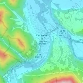
Name: Parsons topographic map, elevation, terrain.
Location: Parsons, Tucker County, West Virginia, 26287, USA (39.08415 -79.68852 39.10556 -79.66523)
Average elevation: 1,824 ft
Minimum elevation: 1,614 ft
Maximum elevation: 2,556 ft