
Indla Venkatampalli topographic map
Interactive map
Click on the map to display elevation.
About this map
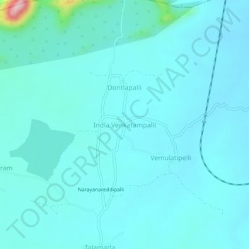
Name: Indla Venkatampalli topographic map, elevation, terrain.
Location: Indla Venkatampalli, Anantapur, Andhra Pradesh, India (14.21301 77.70858 14.25301 77.74858)
Average elevation: 1,414 ft
Minimum elevation: 1,325 ft
Maximum elevation: 2,182 ft