
Pulau Kumala topographic map
Interactive map
Click on the map to display elevation.
About this map
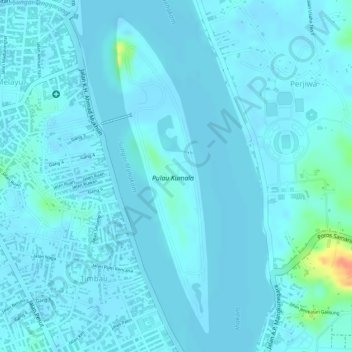
Name: Pulau Kumala topographic map, elevation, terrain.
Location: Pulau Kumala, Samarinda, East Kalimantan, Indonesia (-0.43988 116.99456 -0.41553 117.00196)
Average elevation: 16 ft
Minimum elevation: -16 ft
Maximum elevation: 164 ft