
Niddaquelle topographic map
Interactive map
Click on the map to display elevation.
About this map
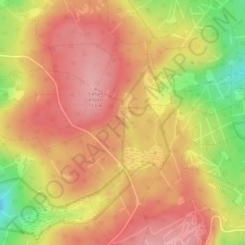
Name: Niddaquelle topographic map, elevation, terrain.
Average elevation: 2,333 ft
Minimum elevation: 2,064 ft
Maximum elevation: 2,477 ft
Other topographic maps
Click on a map to view its topography, its elevation and its terrain.
Betzenrod
Deutschland > Hessen > Schotten > Betzenrod
Betzenrod, Schotten, Vogelsbergkreis, Hessen, 63679, Deutschland
Average elevation: 1,273 ft