
Ban Muang Chum topographic map
Interactive map
Click on the map to display elevation.
About this map
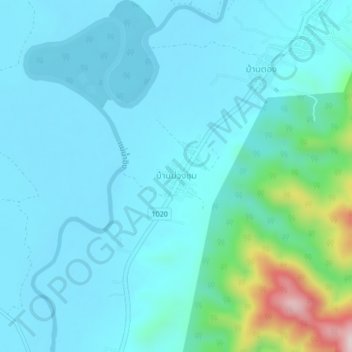
Name: Ban Muang Chum topographic map, elevation, terrain.
Location: Ban Muang Chum, Chiang Rai Province, Thailand (20.08291 100.38320 20.12291 100.42320)
Average elevation: 1,316 ft
Minimum elevation: 1,125 ft
Maximum elevation: 2,454 ft