
Ruanes topographic map
Interactive map
Click on the map to display elevation.
About this map
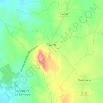
Name: Ruanes topographic map, elevation, terrain.
Location: Ruanes, Cáceres, Extremadura, España (39.29659 -6.04102 39.35191 -5.98647)
Average elevation: 1,552 ft
Minimum elevation: 1,375 ft
Maximum elevation: 1,886 ft