
Sredec topographic map
Interactive map
Click on the map to display elevation.
About this map
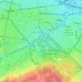
Name: Sredec topographic map, elevation, terrain.
Location: Sredec, Sofia City, Sofia-City, Bulgaria (42.67748 23.31900 42.69769 23.35158)
Average elevation: 1,837 ft
Minimum elevation: 1,739 ft
Maximum elevation: 2,008 ft